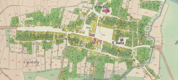
A stitched-together copy of the 1849 Cadastral Map of Kańczuga has been available since 2014 in the Gesher Galicia Map Room, which was scanned and stitched together as part of the Gesher Galicia Cadastral Map and Landowner Records Project, organized for Kańczuga and nearby villages through this site. This map was mentioned in the article 1849 Kańczuga cadastral map and house index.
While reviewing documents in the Przemyśl Archive recently, I came across their scans of the same map, in parts, and wanted to share the link to that version as well. Unfortunately those scans have watermarks from the archive, but I still think it’s nice to have another version of it for those who want to review the map.
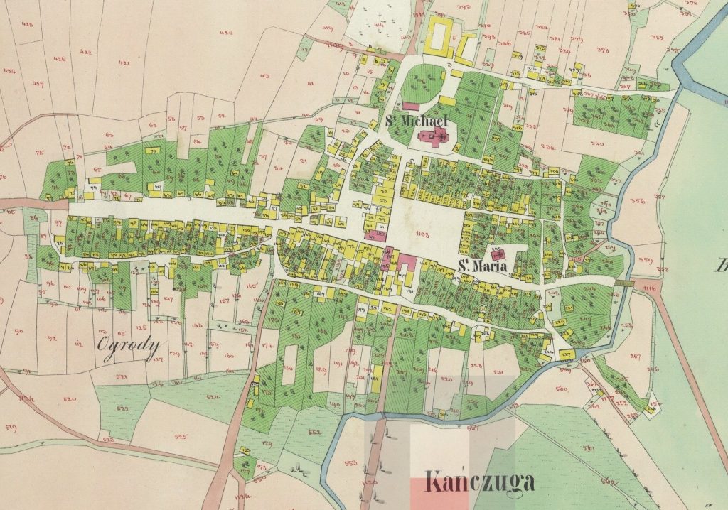
You can see part of the archive’s watermark in the above image – the shaded square and the red square that both overlay part of the town name at the bottom of the map.
Due to the compression on the Przemyśl Archive version, and the way that Gesher Galicia does their zooming, you can probably still get a better up close look at the details on the Gesher Galicia version, so I would still suggest using the Gesher Galicia version when looking for specific locations on the map, but you can share the Przemyśl version, so it’s good to have both versions.