Tag Archives: Cadastral Map

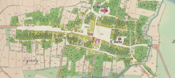
1849 Cadastral Map of Kańczuga at the Przemyśl Archive

A stitched-together copy of the 1849 Cadastral Map of Kańczuga has been available since 2014 in the Gesher Galicia Map Room, which was scanned and stitched together as part of the Gesher Galicia Cadastral Map and Landowner Records Project, organized for Kańczuga and nearby villages through this site. This map was mentioned in the article 1849 Kańczuga cadastral map and house index.

While reviewing documents in the Przemyśl Archive recently, I came across their scans of the same map, in parts, and wanted to share the link to that version as well. Unfortunately those scans have watermarks from the archive, but I still think it’s nice to have another version of it for those who want to review the map.
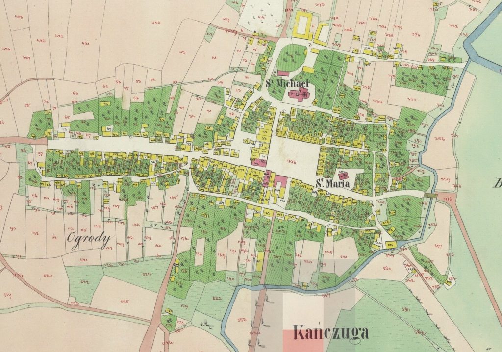
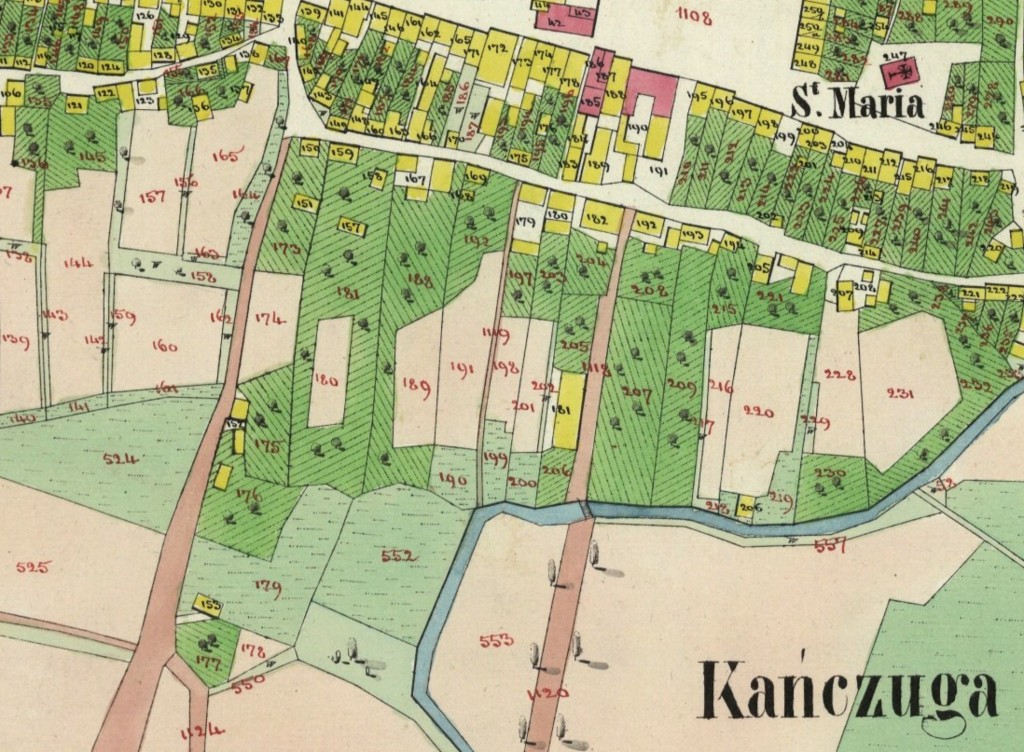
1849 Cadastral Map of Kańczuga

You can see part of the archive’s watermark in the above image – the shaded square and the red square that both overlay part of the town name at the bottom of the map.

Due to the compression on the Przemyśl Archive version, and the way that Gesher Galicia does their zooming, you can probably still get a better up close look at the details on the Gesher Galicia version, so I would still suggest using the Gesher Galicia version when looking for specific locations on the map, but you can share the Przemyśl version, so it’s good to have both versions.
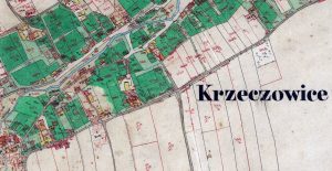
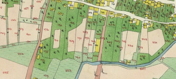
Krzeczowice map

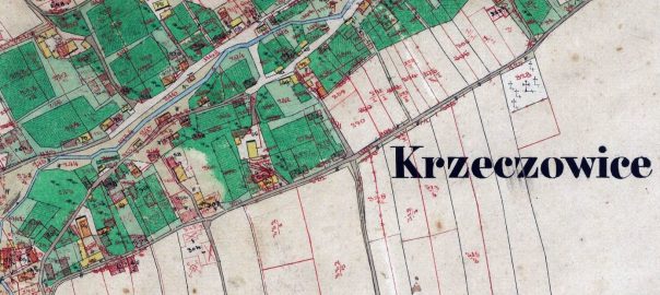
Cadastral Map of Krzeczowice

I’m happy to announce that as part of our Kańczuga Nearby Villages Project, we’ve now digitized and made available a cadastral map of Krzeczowice, a village 2.2 miles east of Kańczuga, which shows up in Kańczuga records with surnames including Braten, Einsidler, Engelberg, Knispel, Lilien, Morsel, Schein, Seidenfeld, Spatz, Wolfman, and Zellerkraut.

Krzeczowice map

The map dates from 1849 and includes the plot numbers and house numbers.

The map is made available in the Gesher Galicia Map Room, where you can also find cadastral maps of Kańczuga (1849), and other Nearby Village Project villages Bialoboki (1852), Chodakówka (1849), Gać (1852), Łopuszka Mała (1851), Siedleczka (1851), and Siennów (1851).

Thanks to the team at Gesher Galicia who made this possible.

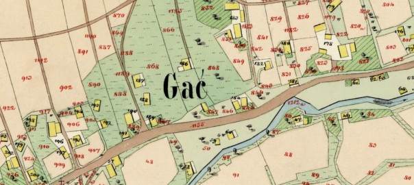
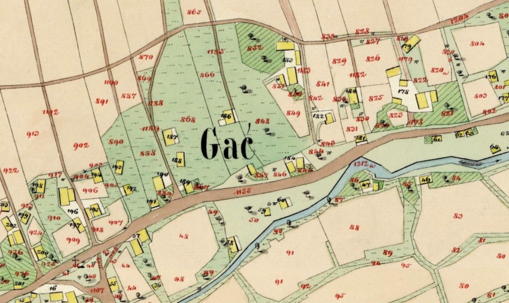
Gac Map Excerpt

Three maps now available from the Kańczuga Nearby Villages Project

Three cadastral maps from the Kańczuga Nearby Villages Project have been found, scanned, and are now available in the Gesher Galicia Map Room. We are very grateful to the team at Gesher Galicia, both in the US and in Poland, that have made it possible to find these and make them available to researchers everywhere.

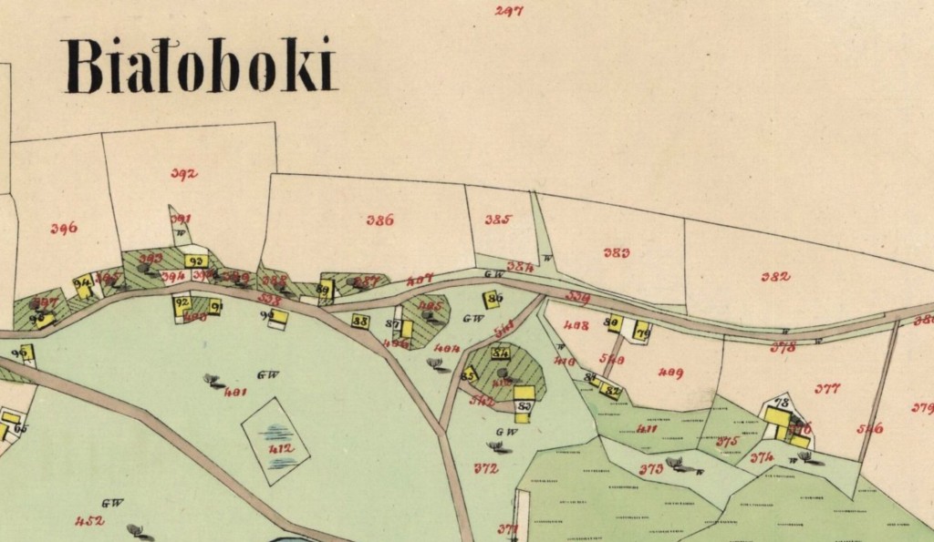
Białoboki Village Cadastral Map 1852

Bialoboki Map Excerpt

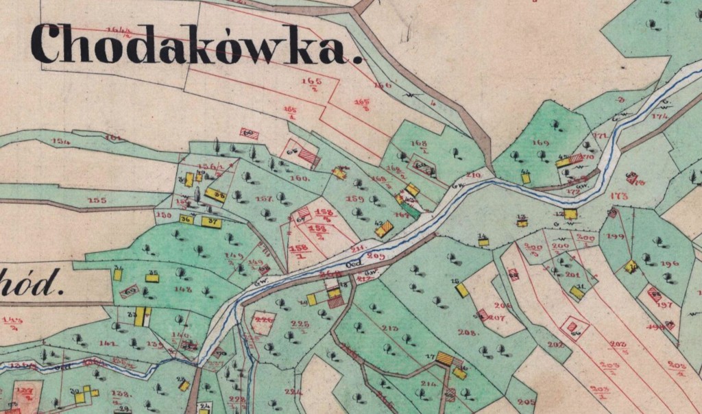
Chodakówka Village Cadastral Map 1849

Chodakowka Map Excerpt

Gać Town Cadastral Map 1852

Gac Map Excerpt

We don’t yet know of associated house indexes for these maps (like there is for the Kańczuga map), but if we find them we will be sure to transcribe them and make them available. If you have family from these towns, it would be great if you could share information on your family, when they lived in the town, etc. in the comments below.

1849 Cadastral Map

1849 Kańczuga cadastral map and house index

1849 Cadastral Map

After several years of effort in the Polish archives, funded by donors from the Kańczuga mailing list, I’m happy to announce that we now have a cadastral map of Kańczuga. The map is from 1849 and corresponds directly to a database of house and land owners that is also now indexed and online in on the Gesher Galicia web site.

The map is online here:

http://maps.geshergalicia.org/cadastral/kanczuga-1849/

and the house and land owner database is searchable here:

http://search.geshergalicia.org

If you want, you can scroll down on the left side, and under ‘Record Sources’ you select:

Kańczuga Homeowners List (1849)

That will show you the 255 records in that database, with 40 records shown at a time. Otherwise you can search in the full database, then select the above source to filter it so only the results from that database is shown (there is no way to directly search just that database).

The database includes the house numbers, and correspond to the house numbers on the map. The original data source, a ledger, has land plot numbers as well, but is not in the database online (yet). Donors to the Kańczuga research project can receive the original scans of the ledger. If you’re a donor and want the original scans, or want to donate to the project, please send me a message via the contact page.