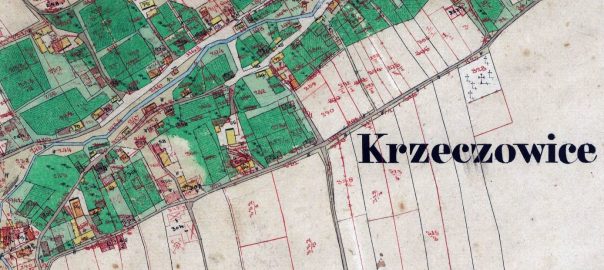
I’m happy to announce that as part of our Kańczuga Nearby Villages Project, we’ve now digitized and made available a cadastral map of Krzeczowice, a village 2.2 miles east of Kańczuga, which shows up in Kańczuga records with surnames including Braten, Einsidler, Engelberg, Knispel, Lilien, Morsel, Schein, Seidenfeld, Spatz, Wolfman, and Zellerkraut.
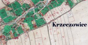
The map dates from 1849 and includes the plot numbers and house numbers.
The map is made available in the Gesher Galicia Map Room, where you can also find cadastral maps of Kańczuga (1849), and other Nearby Village Project villages Bialoboki (1852), Chodakówka (1849), Gać (1852), Łopuszka Mała (1851), Siedleczka (1851), and Siennów (1851).
Thanks to the team at Gesher Galicia who made this possible.